A New Middle-Earth Map
J.R.R. Tolkien famously said:
“I wisely started with a map, and made the story fit.”
Constructing the Map
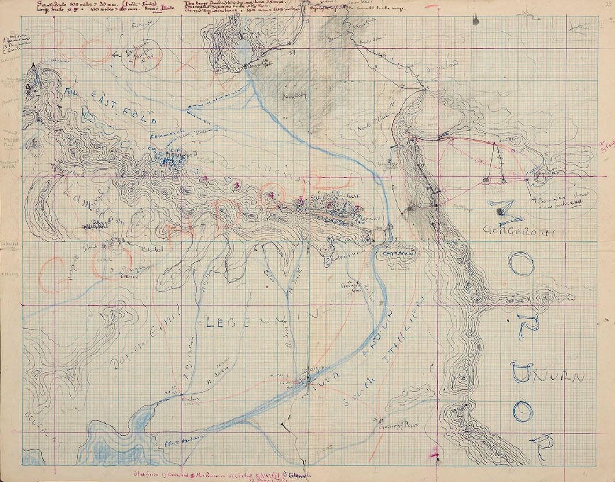
The original map was a family effort. J.R.R. Tolkien kept a battered “at a glance” working map consisting of multiple taped sheets of paper which he amended and added notes to as the story developed, but he struggled with a final publication format. It was Christopher Tolkien, his son, who drew the iconic red-and-black fold-out map included in the 1954 release of The Fellowship of the Ring. See https://www.christopherstites.com/p/the-maps-of-tolkien
Barbara Strachey
Barbara Halpern Strachey’s ‘Journeys of Frodo‘ (published 1981) presents 51 hand-drawn maps tracing the Fellowship’s paths across Middle-earth, a work that built on Tolkien’s mapping and narrative.
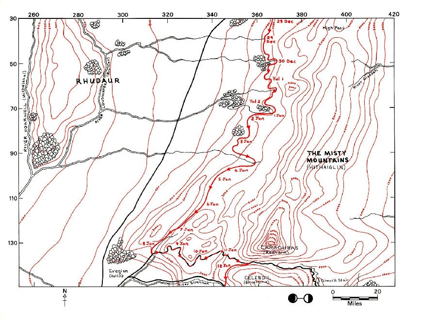
Explore the Map
Tolkien did not draw random shapes, working notes with the illustrator Pauline Baynes reveal that he aligned his geography with real-world latitudes. He explicitly noted that Hobbiton rests on the same latitude as Oxford, England, while using cities like Ravenna, Italy as inspiration for Minas Tirith, alongside reference points in Jerusalem and Belgrade.
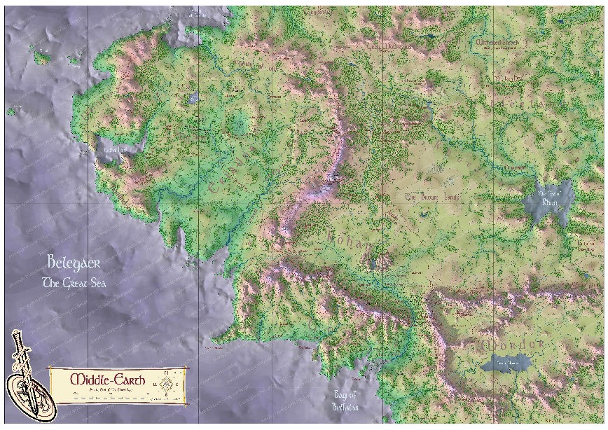
Camping Design
A collection of personal projects exploring the landscapes of fiction — from camping design inspired by Tolkien’s journeys, to 3D terrain models of Frank Herbert’s “Dune” and Pratchett’s “Ankh-Morpork”.